Data Collection with the Mavic 2 Pro and Pix4D Capture
Date: 9/21/2024
The DJI Mavic 2 Pro,
unlike the Skydio S2, does not include a mapping feature in its software.
However, using the Pix4D Capture app, we can perform such mapping missions with
the DJI Mavic 2 Pro platform and compare these missions with those conducted
with the Skydio S2 platform. When performing the same scan with a different
platform and software, there are bound to be differences. While we cannot see
the difference in scan quality until the data is processed, we can compare other
factors such as dataset size, time to complete mission, individual quality of
single images, and overall user experience.
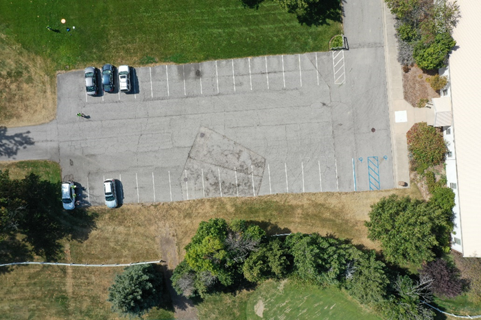
The chosen study area was the turf farm, the same site as in the Skydio 2D mapping mission. While the site was the same, one important factor that may affect the data is the difference in weather conditions. During the Pix4D capture flight, conditions were 90 degrees with relatively zero wind and no cloud cover (Figure 1). During the Skydio 2D mapping flight, conditions were 80 degrees, light breezes, but overcast (Figure 2). Shadows and reflections off smooth surfaces such as vehicles caused by direct sunlight can impact the quality of the data.
Figure 2: Skydio
Mission (Overcast)
Two
flights were conducted for this mission. The first flight consisted of a
lawnmower pattern single grid 2D mapping mission. This flight was conducted at
200ft AGL, with a frontal and side overlap of 80%, and a camera angle at 90
degrees (nadir) yielding a GSD of 1.41 cm/px. A total of 112 images were taken
(Figures 3 and 4). For comparison, the Skydio S2 accomplished this same mission
with the same settings in only 62 pictures and a GSD of 1.01 in/px (2.57cm/px).
Given that the Skydio had a higher GSD and less pictures, one would assume that
the Pix4D capture program will generate a higher quality scan. Only once the
data is processed will we truly be able to tell which produced the higher
quality scan.
Figure 3: Flight 1
information
Figure 4: Flight 1
settings
Flight 2 was conducted with the same settings as flight 1
(80% frontal overlap, 80% side overlap, 200ftAGL), except this time with a
crosshatch pattern and 80 degrees gimbal angle yielding a GSD of 1.43cm/px
(Figures 5 and 6). A crosshatch flight was not conducted with the Skydio, so
there is no accurate comparison of this mission between the two platforms at
this time. However, adding crosshatch and tilting the gimbal allows for higher
quality 3D models of surfaces as opposed to flying in a single direction lawn
mower pattern at nadir. The Mavic 2 Pro and Pix4D capture app accomplished this
flight in 8 minutes, capturing a total of 189 images.
Figure 5: Flight 2
Information
Figure 6: Flight 2
Settings
Mission Times
|
Driving/setup |
30 mins |
|
Flight 1 |
4 mins |
|
Flight 2 |
8 mins |
|
Total |
42 mins |
Dataset
|
|
Images |
Size |
|
Flight 1 |
112 |
1GB |
|
Flight 2 |
189 |
1.66GB |
|
Total |
301 |
2.66GB |
Data gathered in flights
1 and 2 will be processed in Pix4D at a later date. Processed results from flight
1 will be compared with the Skydio 2D map capture to determine which platform
produced higher quality results.


Comments
Post a Comment