Skip to main content
Search
Search This Blog
Kendrick Wittmer
Home
Logbook
Contact Information
Gallery
More…
Posts
December 12, 2024
Data Collection with the Mavic 2 Pro and Pix4D Capture
December 12, 2024
Processing Data with Pix4D
December 12, 2024
Advanced UAS Mapping Missions
December 12, 2024
Data Collection with the Skydio 2
December 11, 2024
Correcting Datums
October 03, 2024
ArcGIS Earth Familiarization
May 01, 2024
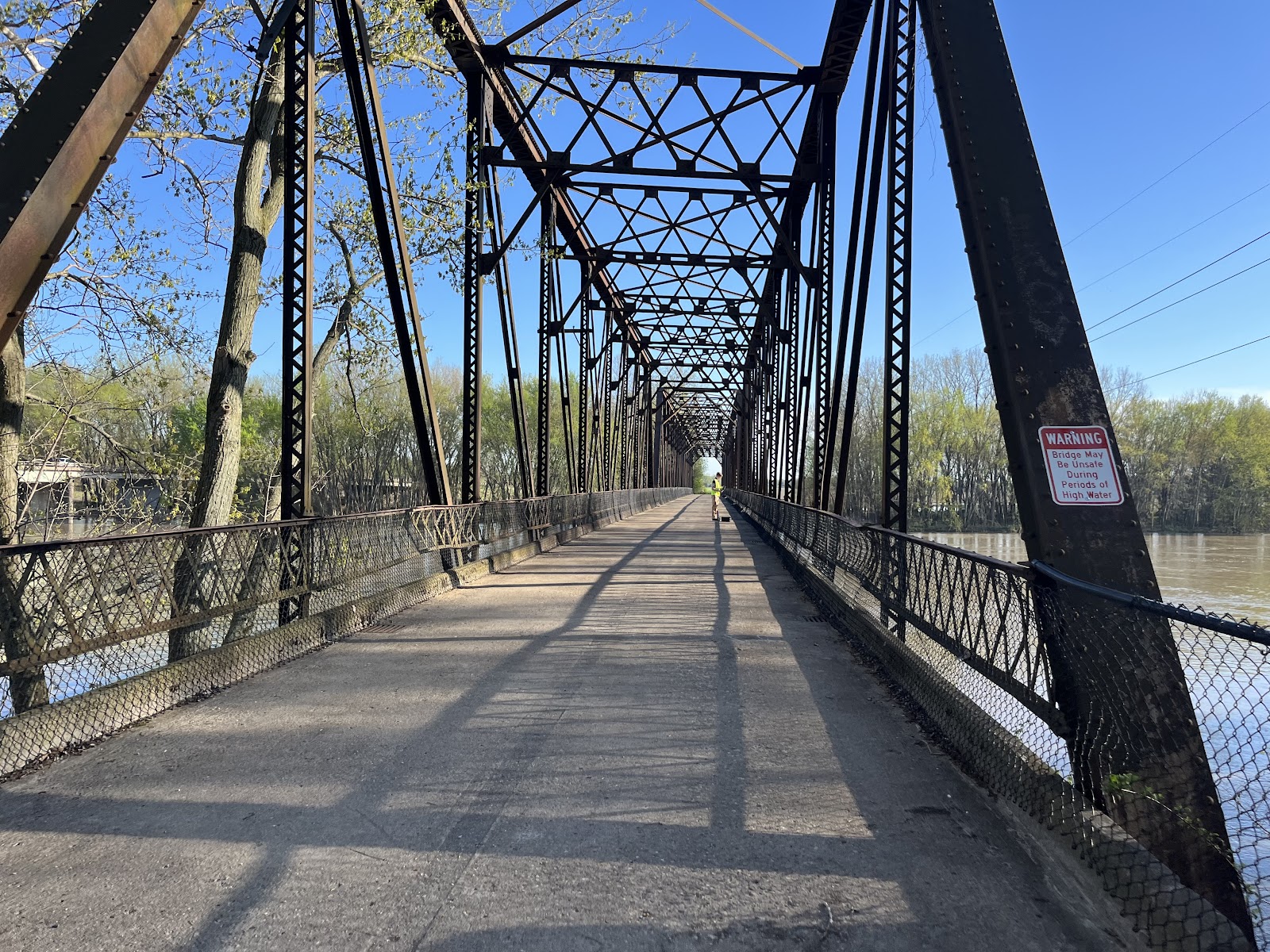
Davis Ferry Park Bridge Scan
Newer Posts
Older Posts
Home